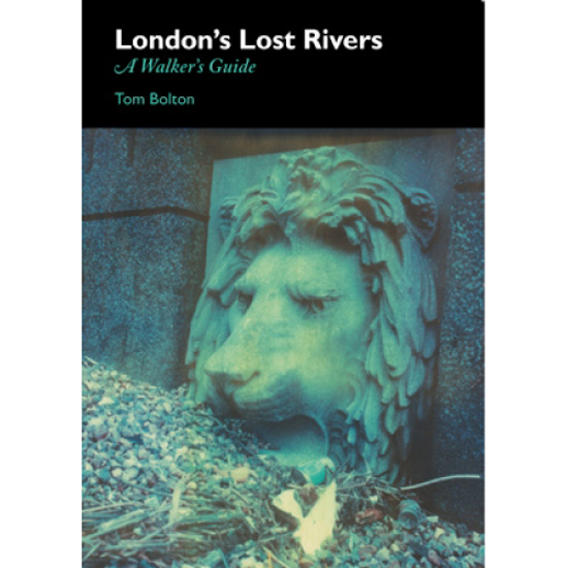
by Thomas Bolton
I’ve always felt that the best thing about London is its inexhaustible walking potential. Nowhere stays the same for long: come back the next day and something has always changed. Come back in a year, and the entire city has shifted on its axis while you’ve been otherwise engaged.
That’s why I began to look below ground: trying to pull back the surface and link geological traces and topographical whispers with the rivers rumoured to run under our feet. London’s lost Thames tributaries have fascinated plenty of people, but one has reigned supreme, king of the rivers. Nicholas Barton, a gentleman amateur with a day job as a lawyer, wrote his indispensable The Lost Rivers of London in 1962. It is still one of Historical Publications’ top title, and the many reprints since have fed an insatiable curiosity about lost rivers.
Almost everyone is fascinated by folk tales of flooded basements, rivers that return to their old courses decades after they were last seen, streams flowing under drain covers, wild pigs roaming the Fleet, and ghostly phenomena. Barton walked the streets, inadvertently freeze-framing early 60s London in his visits to vanished locations such the Mandrake Club, or the slum housing of South Hampstead, but he didn’t encourage participation. He acted as an intermediary, distilling the information and reporting what he saw. He didn’t balk from the outlandish or the tales of freak phenomena, investigating the links between poltergeist reports and underground water sources. But as an historian, he was writing for the record, corralling scattered unruly sources and unreliable maps, plucking passing allusions from masses of documentation, and supplying the definitive account.
When I came to trace one of my local rivers, The Effra, I found that his lovely London-wide map of the rivers, pasted into the fly-leaf, was not detailed enough for the walker’s needs. I did the research, examining 500 years of London maps to look for hints of water in the changing landscape, and one river lead to another. The finished book – London’s Lost Rivers: A Walker’s Guide – includes nine rivers: the Westbourne, the Tyburn, the Fleet and the Walbrook on the north bank of the Thames; the Peck; the Earl’s Sluice, the Neckinger, the Effra and the Wandle to the south. Ranging from the partially to the wholly buried, they are the most central of the lost rivers, and they provide a set of contrasting walks. The Wandle is almost entirely above ground after its first mile, buried under South Croydon, but it is no less hidden for all that. It is industrial, unglamorous, edgeland walking, and all the more compelling for it. The Walbrook on the other hand, the very spirit of the City of London, was last seen on the surface during the 1400s. Only its Dowgate inlet survived, until it was finally filled in for container shipping in the 1950s. It runs under both the Bank of England and No.1 Poultry, where the bankers to survey their kingdom – that’s how deeply embedded it is in the fabric of the Square Mile.
Elsewhere we catch glimpses of the hidden rivers, obscured among woods on Hampstead Heath (the Fleet), running through the back gardens of a convent (the Effra), slipping seamlessly into the Docks (the Peck and the Earl’s Sluice), crossing the District Line in a pipe (the Westbourne), separating Southwark from Lambeth (the Neckinger) or flowing under drain covers (almost all of them).
But, although we are looking for something older than London itself, we discover just as much as about London as it is now. Other walk books encompass Regent’s Park, Buckingham Palace, Hyde Park, and Baker Street. They do not, as a rule, bother with Elephant and Castle, the Gospel Oak Estate, Hackbridge or West Norwood, the Neckinger Estate, the New Den, Waddon Ponds, or One Tree Hill. Yet these places are linked by an invisible, watery tie, a thread of logic that draws hidden desire lines across the capital. Ley line guru Alfred Watkins saw a web of connections laid out before him, glowing in the Herefordshire countryside. The right view over London would show a network of blue veins, diving the city into neighbourhoods and sectors. Kilburn meets Bayswater, Brixton meets Dulwich, Highgate meets King’s Cross. This is where the great, sprawling, illimitable beast starts to make sense. It’s all tied up by a hidden logic, the key to the capital. True London walking doesn’t discriminate, and nor do the rivers: they run where they please. All we have to do is to follow their lead, and go with the flow.